On Sunday Steve, Rob and I met up at Sutton bank on the Western edge of the Moors for a walk, having hatched a plan the day before at the Thirsk adventure film festival. The weather forecast was looking good compared to areas further west, overcast but dry, with a chilly winter wind.
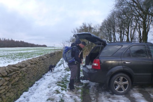
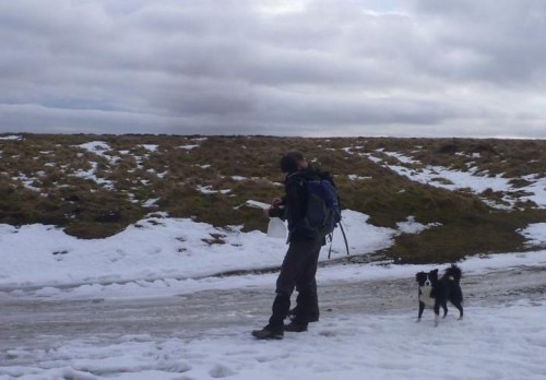
After going through some route options at Steve's 'bonnet briefing' we began walking from Sneck Yate, near Boltby at 9.45. We set off at a blistering pace north up the Cleveland way, along some of the Sutton Bank bike trails and farm tracks that make up the byway. Snow was laying in places along the tracks, and the compacted ice from vehicle wheels made it slippery going on the track.
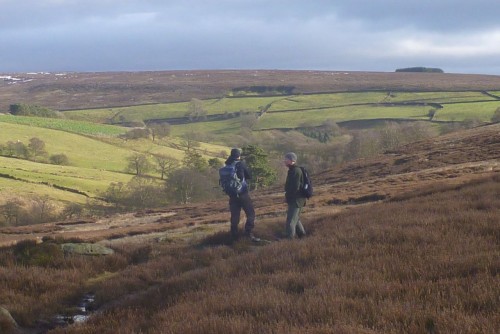
At Hambleton end we decided to do some navigation practice, discussing route choices and walking on a bearing. Pacing and estimating distances was interesting, as we were all about the same on the flat, but going downhill or through high heather I seemed to overestimate compared to Steve and Rob. Doing this kind of exercise in good conditions, when we could see where we were going and mistakes weren't going to be costly or serious was really useful, and will hopefully help me in the next whiteout!
Having dropped down into Ryedale, and a quick bite to eat, we headed south through fields, woodland and lots of mud to Arden Hall. By now we had some blue sky, the threatened rain hadn't arrived, and out of the cold wind it was very pleasant walking. From Arden Hall, a short sharp climb up onto the top gave us a 3km easy walk south back to the cars for 3pm.
It was great to get out, stretch the legs on a fine clear day, and do some Nav practice. Thanks to Rob for the photos. 13.4 miles, 5hr15mins.
Tags: navigation, North York Moors


